


9,6 km | 12,7 km-effort


Utilisateur


Application GPS de randonnée GRATUITE
 SityTrail
IGN / Instituts géographiques
SityTrail World
Le monde est à vous
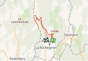
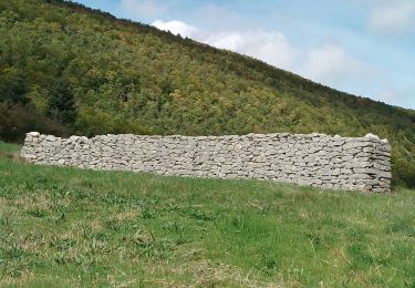
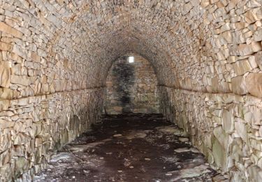
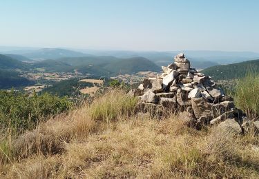
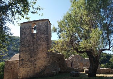
Randonnée Marche de 14,7 km à découvrir à Provence-Alpes-Côte d'Azur, Alpes-de-Haute-Provence, La Rochegiron. Cette randonnée est proposée par dsurin.
Les Granges de la Roche par le ravin des Quatre Combes, retour par le chemin forestier d,e La Roche
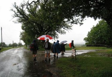
Marche
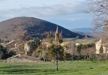
Marche
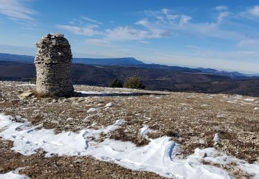
Marche

Marche
Marche
Marche
Marche
Marche

Marche